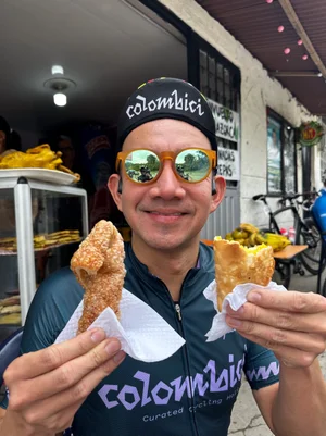
The Colombian Andes are home to many brutal climbs. From tropical valleys to high-altitude páramo, each carries as much legacy as it does distance and elevation.
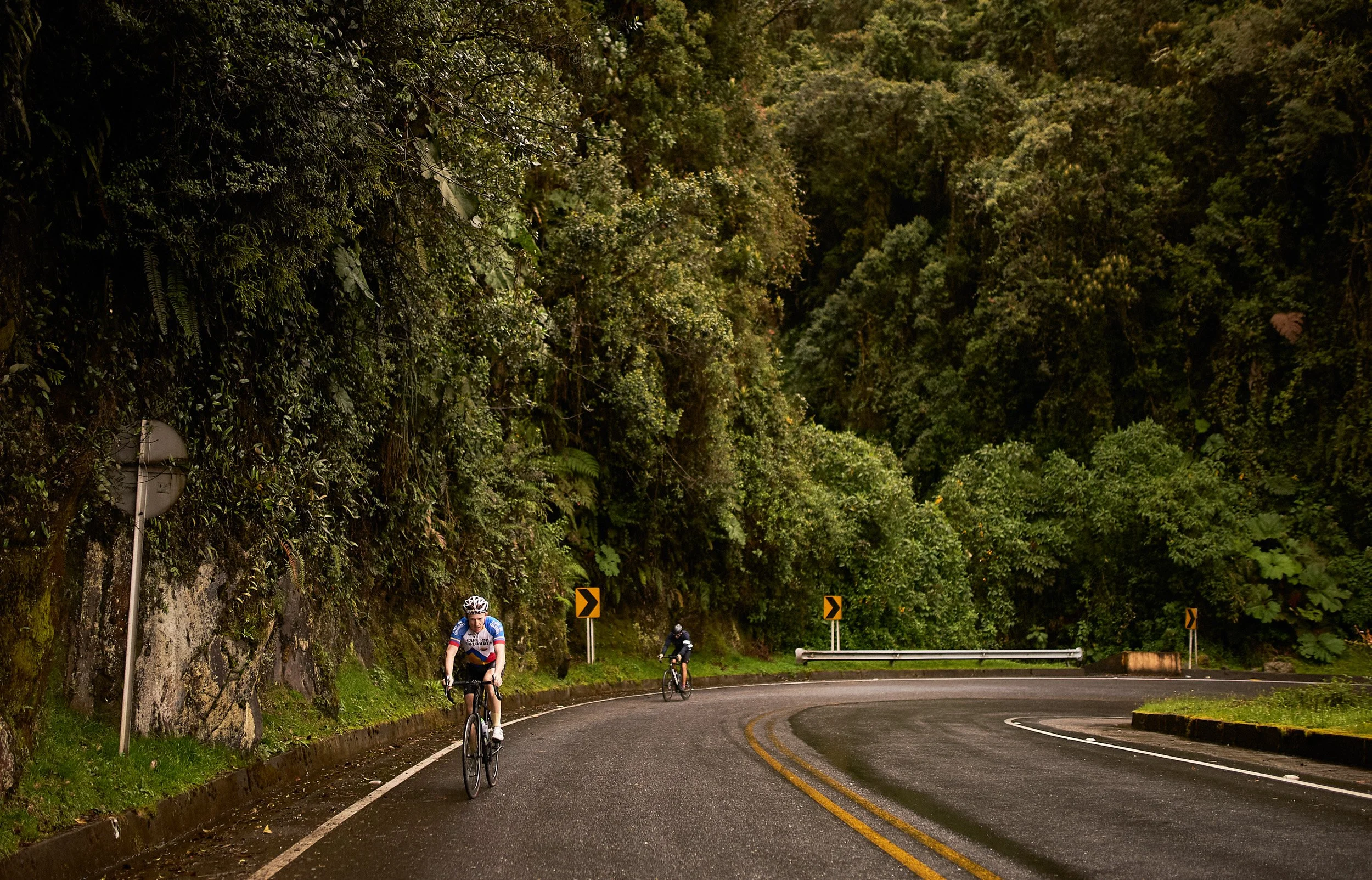
Somewhere between the river and the páramo, the forest takes over.
A European col links two valleys. The Stelvio is 24.5 km / 15.2 mi at 7.5%. A Colombian climb starts on a river bank a few hundred metres above sea level and ends in cold páramo across a cordillera, so it runs for hours. Alto el Sifón is 88.2 km / 54.8 mi at 4.3%.
The gradient is gentler, the distance longer and the air thinner. Alto el Sifón gains 3,799 m / 12,464 ft, twice the Stelvio’s 1,824 m / 5,984 ft, and crosses four climates on the way. These climbs wear you down by accumulation, not by ramps. Each of the seven has a race, a record or a ritual behind it. Every figure is in km and miles, metres and feet, measured from start to summit.
- Longest raced
- 88.2 km54.8 mi · Alto el Sifón (Armero)
- Highest
- 4,149 m13,612 ft · Alto el Sifón (Armero)
- Steepest
- 7.6%average · Alto de La Línea (Calarcá)
First time cycling in Colombia? Start with the geography guide to see how the country is built before you pick a climb.
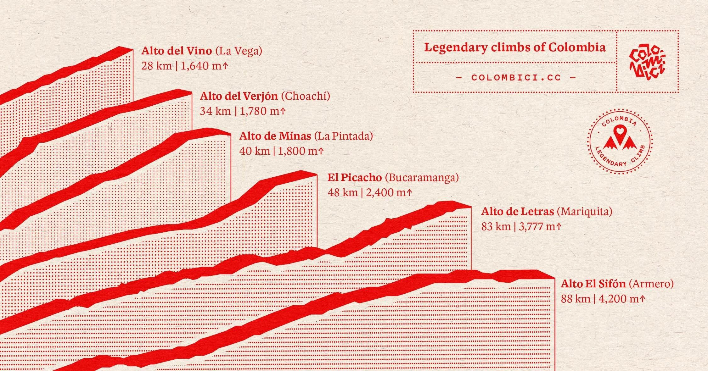
Six of the biggest, measured in distance and elevation gain.
Five regions, seven climbs
Each region has its own climate, its own roads and its own reasons to ride. We start in Tolima and finish on the plains of Casanare.
Region 01 · Alto el Sifón, Alto de Letras
Tolima
From the Magdalena valley to Los Nevados National Natural Park.
The Central Cordillera rises from river heat to volcano country. Two of the longest climbs in the country start in the valley.
Climb
Alto el Sifón (Armero)
- Length
- 88.2 km54.8 mi
- Gain
- 3,799 m12,464 ft
- Average
- 4.3%
- Max
- 12%
- Start
- 350 m1,148 ft
- Summit
- 4,149 m13,612 ft
The ride starts in Armero at 350 m / 1,148 ft, in tropical lowlands lined with banana, lulo and papaya trees. On 13 November 1985, a mudflow from the eruption of Nevado del Ruiz destroyed Armero and killed about 23,000 people.
Altitude is the climb. It crosses all four thermal floors: tierra caliente below 1,000 m / 3,281 ft, averaging above 24 °C / 75 °F, then templada to 2,000 m / 6,562 ft, fría to 3,000 m / 9,843 ft and páramo above, averaging below 12 °C / 54 °F. The road passes Líbano’s coffee slopes and Murillo’s cloud and pine forest, then reaches frailejones and high páramo inside Los Nevados National Natural Park, with Nevado del Ruiz ahead. The summit is 4,149 m / 13,612 ft.
Aerobic power drops by roughly 6 to 8% for every 1,000 m / 3,281 ft above about 1,500 m / 4,921 ft, so a rider near 4,100 m / 13,451 ft loses more than a fifth. The Vuelta a Colombia used the climb in 2024, officially the longest climb ever used in a UCI race.
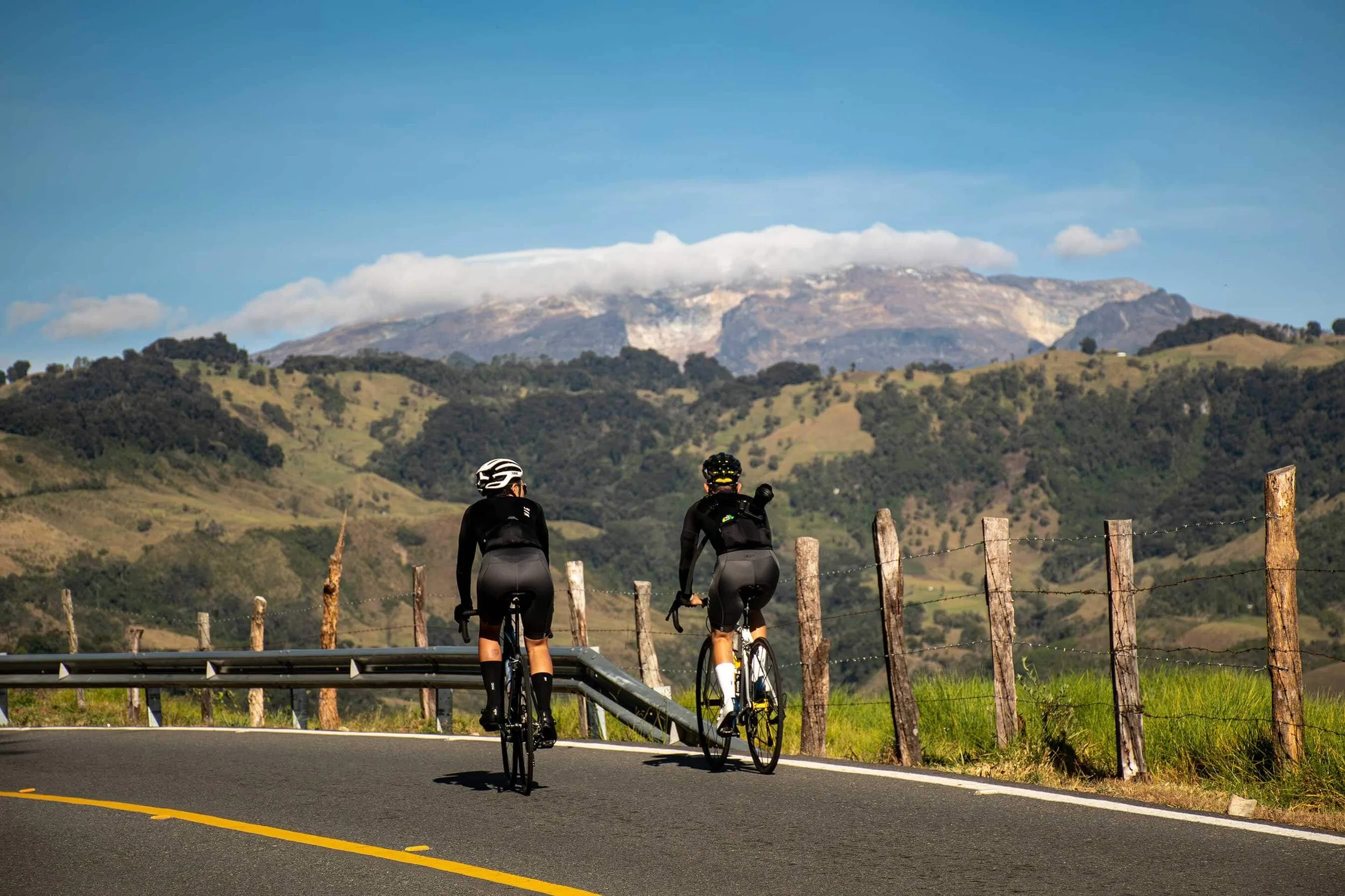
A clear morning shows you how far there is still to go.
Climb
Alto de Letras (Mariquita)
- Length
- 80.7 km50.1 mi
- Gain
- 3,187 m10,456 ft
- Average
- 3.9%
- Max
- 11%
- Start
- 490 m1,608 ft
- Summit
- 3,677 m12,064 ft
It starts in Mariquita, in heat close to 40 °C / 104 °F in the shade. The road passes 2,000 m / 6,562 ft and the air cools. Past km 60 / mi 37, 11 km / 6.8 mi at about 7% run through giant ferns and moss-covered rock.
A last 2.4 km / 1.5 mi at 7.6% above 3,000 m / 9,843 ft leads to the plateau and the summit sign, which reads 3,680 m / 12,073 ft. On a clear day Nevado del Ruiz stands to the left. Riders pose under the sign. The Vuelta a Colombia raced the Mariquita side in 2007. The Manizales side is 31.6 km / 19.6 mi at 5.7%.
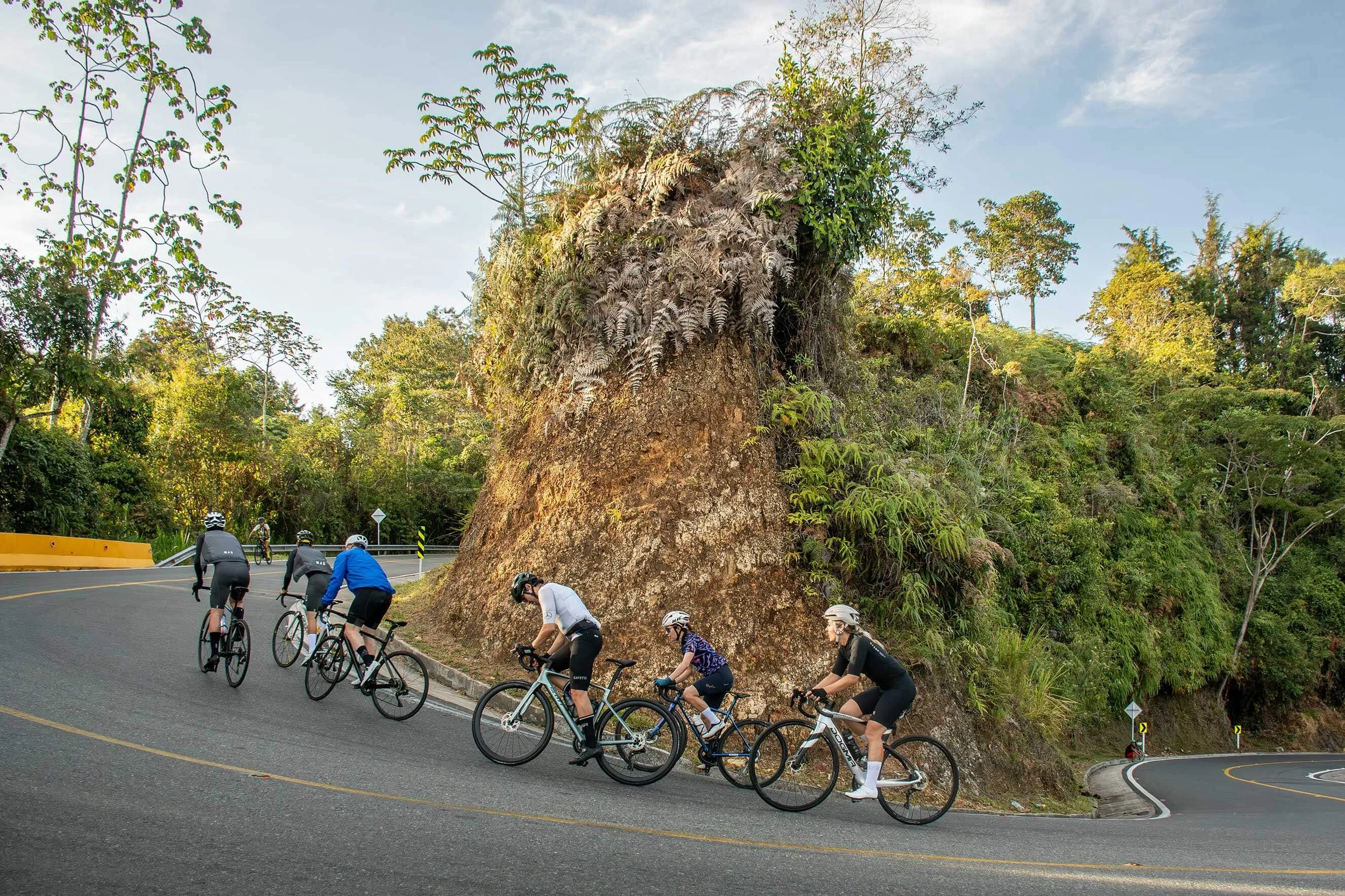
Switchbacks are different in the Colombian Andes.
Region 02 · Alto de La Línea
Coffee region (Eje Cafetero)
UNESCO coffee country, and the pass just beyond it.
The Coffee Cultural Landscape has been a UNESCO World Heritage Site since 2011. Alto de La Línea lies just beyond its coffee towns, on the Quindío and Tolima border.
Climb
Alto de La Línea (Calarcá)
- Length
- 21.7 km13.5 mi
- Average
- 7.6%
- Max
- 13%
- Summit
- 3,265 m10,712 ft
The summit is 3,265 m / 10,712 ft. From Calarcá the first kilometres run at 8 to 9% through coffee and plantain, then 6 to 8% to the midpoint, the one real rest. The final 11 km / 6.8 mi hold at 8.5% or more, with long stretches at 10% and ramps to 13%, and a headwind is common.
In the 1989 Vuelta a Colombia, 21-year-old Oliverio Rincón broke Fabio Parra here. The Línea Tunnel, opened in September 2020, passes 900 m / 2,953 ft below the summit, and the old road still carries heavy freight. The Cajamarca side is 23.4 km / 14.5 mi at 6.1%, with ramps to 14%.
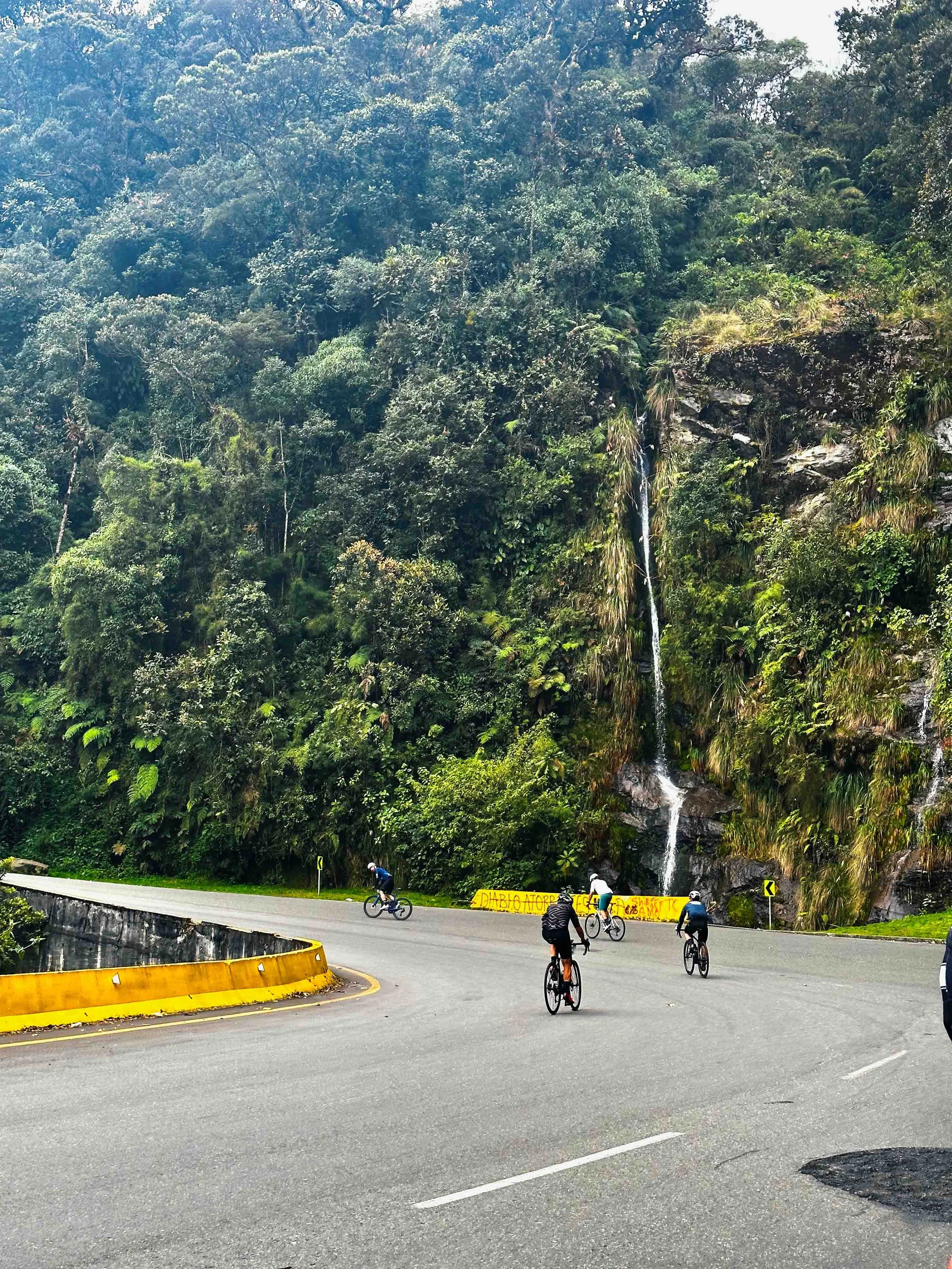
Cloud forest and a waterfall on Alto de La Línea.
Region 03 · Alto de Las Palmas, Alto de Minas
Antioquia
Where the escarabajo myth was made, in the heat and over long hours.
Medellín sits at 1,495 m / 4,905 ft, and climbs start in the city. Altimetrías notes that it is effectively spring all year. Alto de Minas starts in the heat of La Pintada, at 615 m / 2,018 ft.
Climb
Alto de Las Palmas (Medellín)
- Length
- 15.6 km9.7 mi
- Gain
- 1,019 m3,343 ft
- Average
- 6.6%
- Max
- 18%
- Start
- 1,495 m4,905 ft
- Summit
- 2,514 m8,248 ft
Alto de Las Palmas climbs from Medellín at 1,495 m / 4,905 ft to 2,514 m / 8,248 ft: 15.6 km / 9.7 mi at 6.6%, with ramps to 18%. Santiago Botero nearly lost the Vuelta a Colombia 2007 leader’s jersey here.
Tour Colombia’s 2019 queen stage finished on Las Palmas, and the 2024 Vuelta a Colombia used it for a 17 km / 10.6 mi climbing time trial.
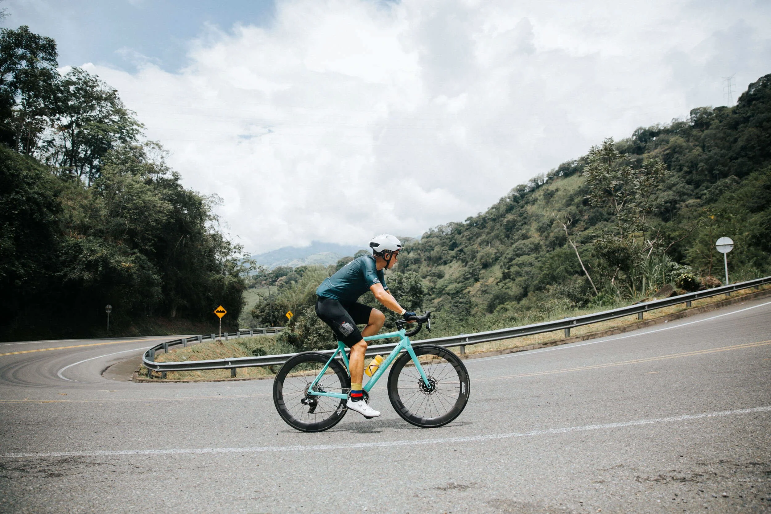
The hairpins never let you settle.
Climb
Alto de Minas (La Pintada)
- Length
- 41.85 km26.0 mi
- Gain
- 1,819 m5,968 ft
- Average
- 4.31%
- Max
- 11%
- Start
- 615 m2,018 ft
- Summit
- 2,434 m7,986 ft
It climbs from 615 m / 2,018 ft to 2,434 m / 7,986 ft. The start is hot and humid after the Cauca bridge, and the hard section begins after La Quiebra: 8.1 km / 5.0 mi at almost 7%. Stage 8 of the 2024 Vuelta a Colombia finished here.
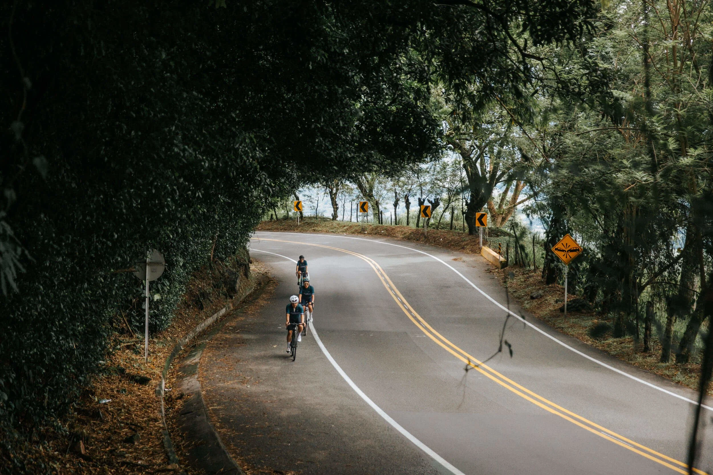
A few minutes of shade before the heat returns.
Region 04 · Alto de Patios
Sabana de Bogotá
A high-altitude playground for ten million.
Bogotá sits at 2,650 m / 8,694 ft, so every climb here starts at altitude and the roads are ridden all year, at 14 to 20 °C / 57 to 68 °F in every month.
Climb
Alto de Patios (Bogotá)
- Length
- 5.9 km3.7 mi
- Gain
- 368 m1,207 ft
- Average
- 6.3%
- Max
- 10%
- Start
- 2,639 m8,658 ft
- Summit
- 3,007 m9,865 ft
It climbs from 2,639 m / 8,658 ft to 3,007 m / 9,865 ft, and it is Strava’s most attempted segment in the world, with 2.8 million attempts. Riders turn out every Sunday and holiday. A 100 m ramp at 9% opens it, then 1.8 km / 1.1 mi at almost 7% to a viewpoint over the city. Cyclists cross the summit toll free.
Sources differ on length: Strava measures 5.88 km / 3.7 mi, Altimetrías de Colombia 6.5 km / 4.0 mi from Carrera 7 and Calle 84.
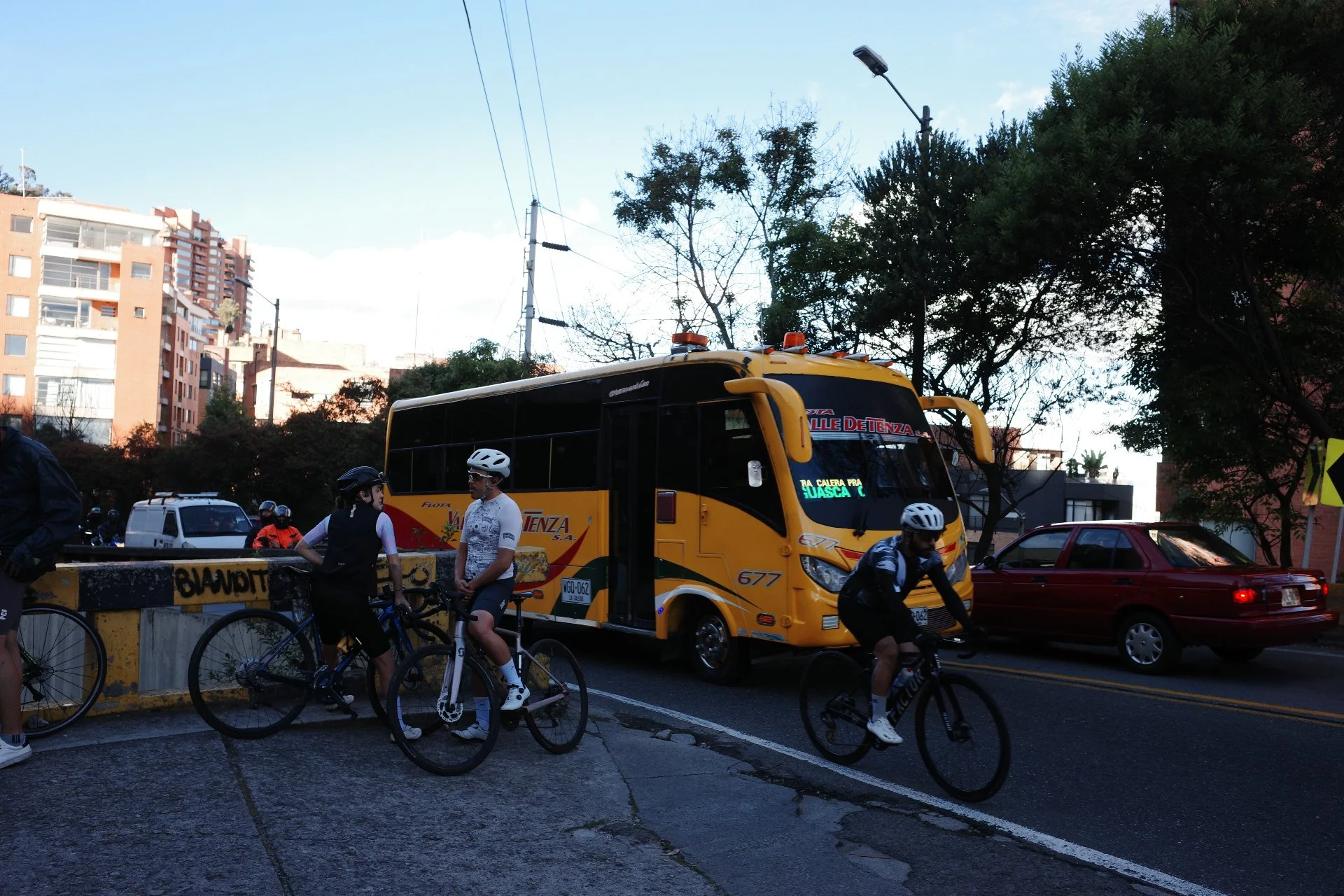
Alto de Patios (from Belisario). The most attempted Strava segment (over 2.8 million).
Region 05 · El Crucero
Plains to the high Andes
The longest on paper, and the least talked about.
El Crucero climbs from the Llanos of Casanare into the Boyacá highlands. Strava’s official segment is 91.82 km / 57.1 mi, longer than Alto el Sifón on paper. Sources start counting in different places, and it has never finished a professional stage, so no body ranks it.
Climb
El Crucero (Aguazul)
- Length
- 91.82 km57.1 mi
- Gain
- 3,136 m10,289 ft
- Average
- 3.4%
- Start
- 309 m1,014 ft
- Summit
- 3,445 m11,302 ft
Strava’s official segment is rated Hors Catégorie, from 309 m / 1,014 ft to 3,445 m / 11,303 ft at 3.4%. Altimetrías measured it in 2014 at about 96 km / 59.7 mi and scored it 658 APM, slightly above Alto de Letras from Mariquita. The hot zone to km 24 sits at 22 to 30 °C / 72 to 86 °F. Freight traffic is heavy.
The road follows the route Simón Bolívar’s army took in 1819, through the shaded green corridor of the Llanos and the river town of Pajarito. The hardest stretch starts at km 41 with 24 km above 6%, then the high páramo hamlet of Toquilla, above 3,000 m / 9,843 ft, brings wind, frailejones and ramps above 7% in the last 8 km / 5.0 mi.
Cyclists ride it in the Reto El Crucero, from Aguazul to the Boyacá summit: more than 80 km / 50 mi of continuous climbing and 3,706 m / 12,159 ft of ascent, from 294 m / 965 ft to 3,340 m / 10,958 ft. The event lists the road as 100% paved.
The racing legacy
| Climb | First on record | Race record |
|---|---|---|
| Alto de Letras | Over 50 years | Vuelta a Colombia. Stage 6 in 2007, Mariquita to Manizales, 123.5 km / 76.7 mi. |
| Alto de La Línea | 1989 | Vuelta a Colombia. Oliverio Rincón broke Fabio Parra. Six summit finishes: 2009, 2019, 2020, 2021, 2023 and 2025. |
| Alto de Las Palmas | 2007 | Vuelta a Colombia 2007, Tour Colombia 2019 (queen stage finish) and Vuelta a Colombia 2024 (17 km / 10.6 mi climbing time trial). |
| Alto de Minas | 2024 | Vuelta a Colombia stage 8 finish, 144.3 km / 89.7 mi from Supía. |
| Alto el Sifón | 2024 | Vuelta a Colombia stage 4 finish (UCI 2.2), the first on the summit. |
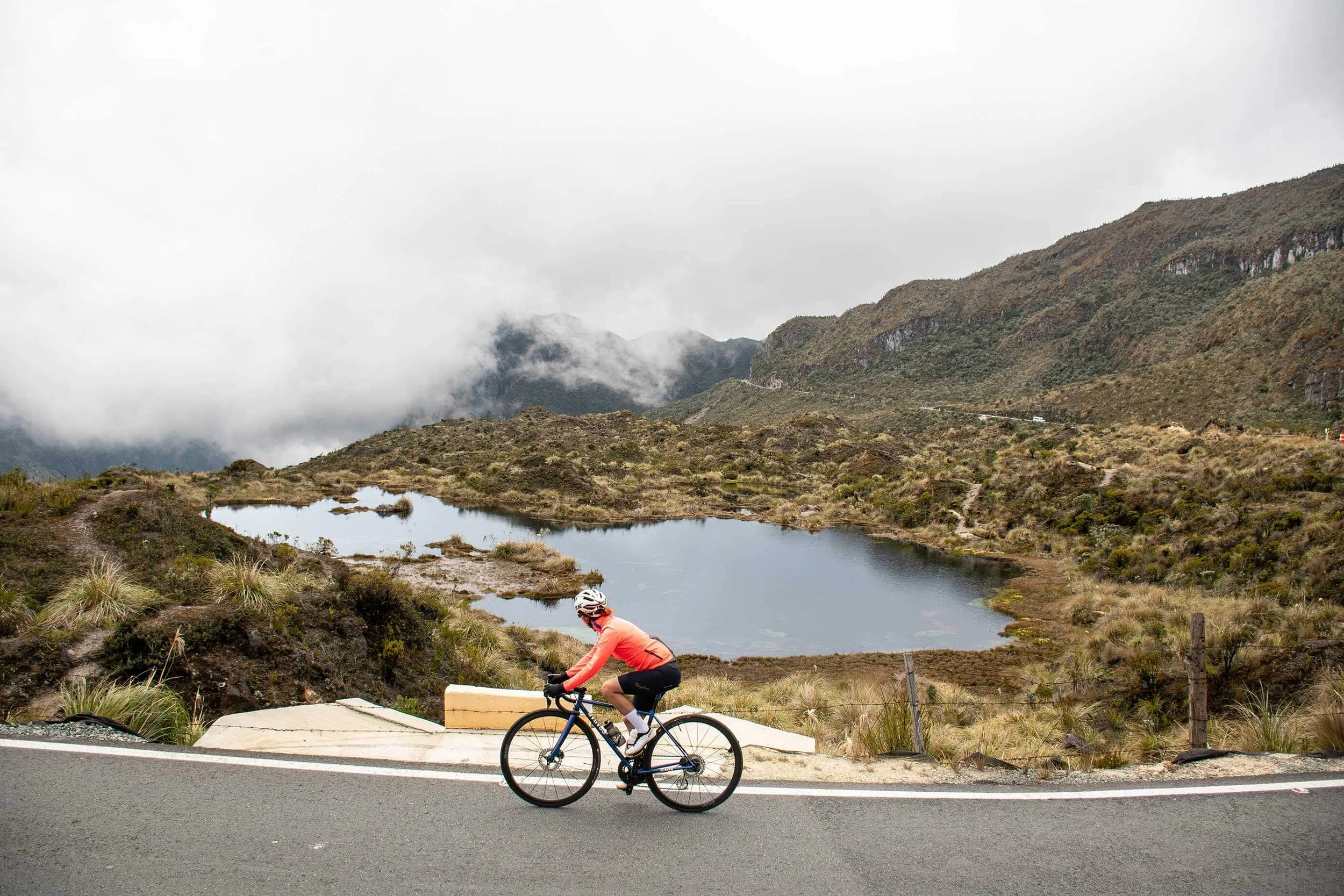
The cold doesn’t wait for the summit.
Questions about cycling climbs in Colombia
What are the most famous cycling climbs in Colombia?
Alto de Letras, Alto el Sifón, Alto de La Línea, Alto de Minas, Alto de Las Palmas and Alto de Patios. Alto el Sifón, Alto de La Línea, Alto de Minas and Alto de Las Palmas have all finished professional race stages.
What is the longest climb in Colombia?
No body ranks climbs by length. Altimetrías de Colombia’s measurements put three roads above 80 km / 50 mi: Alto de Letras (80.7 km / 50.1 mi), Alto el Sifón (88.2 km / 54.8 mi) and El Crucero from Aguazul (about 96 km / 59.7 mi). Length depends on where counting starts.
How high do Colombian climbs go?
Alto el Sifón reaches 4,149 m / 13,612 ft and Alto de Letras 3,677 m / 12,064 ft. Alto de La Línea is 3,265 m / 10,712 ft and Alto de Patios 3,007 m / 9,865 ft.
How steep are Colombian climbs?
Long climbs average 4 to 8%: Alto de Letras 3.9%, Alto el Sifón 4.3%, Alto de Las Palmas 6.6% and Alto de La Línea 7.6% from Calarcá. Short ramps reach 10 to 18%.
What is the steepest climb in Colombia?
By average gradient, Alto de La Línea from Calarcá at 7.6% over 21.7 km / 13.5 mi. For the steepest ramps, Alto de Las Palmas reaches 18%.
What is the most ridden climb in Colombia?
Alto de Patios in Bogotá, Strava’s most attempted segment in the world, with 2.8 million attempts. It is about 5.9 km / 3.7 mi long.
Which climbs in Colombia have hosted professional races?
Alto el Sifón (Vuelta a Colombia 2024), Alto de Letras (Vuelta a Colombia 2007), Alto de La Línea (Vuelta a Colombia, including 2009, 2019, 2020, 2021, 2023 and 2025), Alto de Minas (Vuelta a Colombia 2024) and Alto de Las Palmas (Tour Colombia 2019 and Vuelta a Colombia 2024).
What does Hors Catégorie mean?
It is the top climb rating, French for “beyond categorisation”. In racing, organisers award it. On Strava it starts at 80,000 (length in metres × gradient %). On the APM scale it starts near 220.
What are thermal floors?
Pisos térmicos are Colombia’s climate bands by altitude: caliente below 1,000 m / 3,281 ft, templada to 2,000 m / 6,562 ft, fría to 3,000 m / 9,843 ft, and páramo above. Alto el Sifón, Alto de Letras and El Crucero cross all four.
How do I prepare for altitude on Colombian climbs?
Aerobic power drops by roughly 6 to 8% for every 1,000 m / 3,281 ft above about 1,500 m / 4,921 ft, so a rider at 4,100 m / 13,451 ft loses more than a fifth. Spend 24 to 48 hours in Bogotá before riding high.
What gearing do I need for Colombian climbs?
Plan on a compact crankset and a 1:1 ratio or lower. Altimetrías’ authors rode Alto de La Línea on gearing as low as 30×26.
When is the best time to cycle in Colombia?
Any month works, since altitude shapes the climate more than the calendar does. In the Andes the driest months are January to February and July to August. On the Caribbean coast they run December to April.
Can you ride Alto de Letras and Alto el Sifón on one trip?
Yes. Private journeys can combine both climbs with a shorter flat day between them, and our Road to El Sifón tour covers both summits.
Does Colombici ride these climbs?
Yes. Road to El Sifón climbs Alto el Sifón and Alto de Letras. Unseen Savannah rides from Bogotá, and our coffee region tours cover Alto de La Línea. See reserved departures.
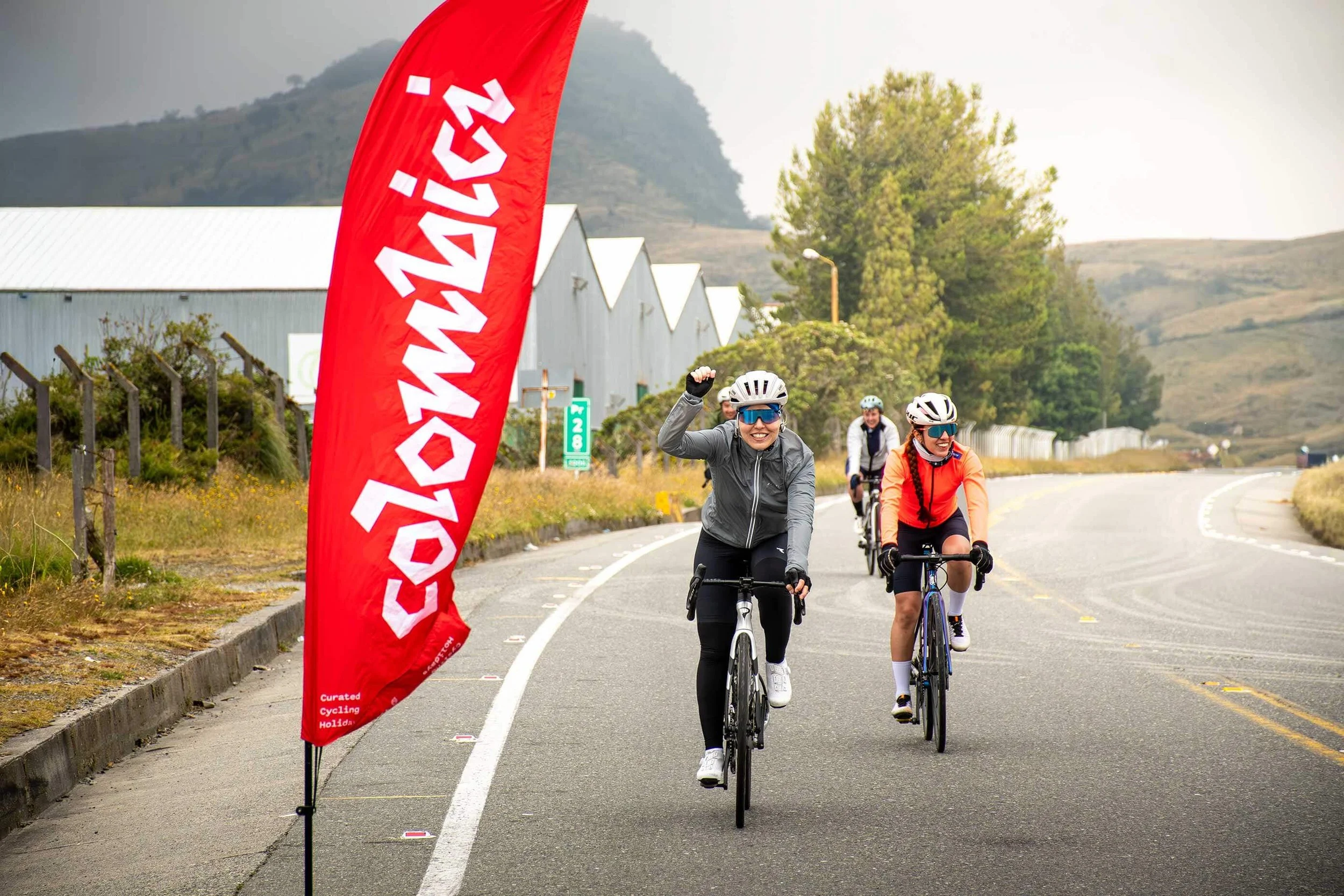
Long climbs are better with company.
Cycling holidays in Colombia
Road to El Sifón climbs Alto el Sifón and Alto de Letras. Private journeys can build any of these climbs into a cycling holiday, including both in one trip.
- Road to El SifónAlto el Sifón and Alto de Letras
- Unseen SavannahBogotá’s climbs
- Into Coffee HeartlandsThe coffee region
- El Retiro: OriginsEastern Antioquia
- Private journeysAny of these climbs
- Reserved departuresScheduled small groups
Sources
Figures follow Wikipedia and ProCyclingStats first, then Altimetrías de Colombia for profiles and climb detail, with Climbfinder and Strava as cross-checks. Where they differ, the entry says so. Gain is net, summit minus start. Elevations and distances are rounded.